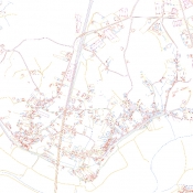
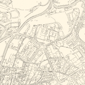
Vector mapping (planimetry)
As a source data for creation of vector maps Terramap uses stereo pairs of aerial photographs, aerial and terrestrial laser scanning, direct surveying or archive raster.
We always fit technology and use best available source to meet requirements and expectations of our clients sometimes by connection of all mentioned above sources.
The outputs are 2D/3D vector files with corresponding database if requested.
Terramap offers different type of mapping:
- cadastral maps,
- land use maps,
- base maps incl. u-ground facilities,
- topographic maps,
- contour maps,
- other thematic maps.


