SCANNING OF BALTIC SEA COAST
2012-08-20
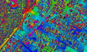
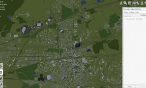
Terramap has signed with Maritime Authority in Szczecin a project agreement for “Airborne Laser Scanning of the sea cost zone for monitoring purposes – edition 2012″. Belong deliverables are RBG orthophotomap, terrain and elevation model. Total length of the coast corridor counts more than 600 kilometers.