Transmission lines
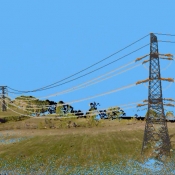
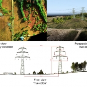
- aerial inventory of transmission line:
- 3D models,
- photo and video monitoring,
- analysis of transmission corridor,
- aerial maps,
- airborne laser scanning (LiDAR),
- maps & analysis of land use and land ownership,
- field inventory,
- network inventory and implementation into GIS.


